

Phase Three Milestones - The Dig!
- bryony5728
- Sep 15, 2025
- 2 min read


We're making great progress on our Phase Three milestones.
Phase Three includes:
A full archaeological survey
An updated ecological survey
Preparation of Construction, Traffic, and Demolition Management Plans
Engagement with SSE and Southern Water for incoming utilities
Full technical designs for the new site entrance
Archaeology
During August, Dick and the team from Southampton City Council's Archaeology Unit spent five days on site. While they didn't find anything of major significance, they did uncover a large, intact jug, which is currently with the archaeology team, but will be returned to us.
Sim spoke with the neighbours know about the work in advance and was met with warmth and encouragement.
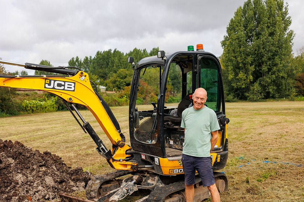
Dick kindly volunteered his time and moved over 800 tons of material for the archaeological dig before placing it all back again! 👏
While there's no new structure on site yet, this was a milestone moment, and we're delighted to see progress (and diggers!) on site.
Technical Designs
We're well underway with the technical designs and drawings for the new entrance. As part of this, an expanded topographic survey was carried out. Once we receive the final drawings from the experts, we'll be ready to submit these for approval.
Ecological Survey, Site Plans, and Utilities
One of the planning conditions is to carry out an ecological survey to ensure that no badgers have made our field their home over the past 12 months. This survey is scheduled for September.
Our traffic and construction plans are coming together, and we're confident these will be ready to submit by the end of the month.
We're currently reviewing SSE's plans to bring power onto the site and have reached out to Southern Water to get things moving there, too.
Archaeology Pre-Survey Report
Before Dick and the archaeologists came on site, a pre-survey plan was prepared by the Southampton Archaeology Unit. While its main purpose is to guide the on-site work, it's packed with fascinating details.

Here are a few excerpts:
Greatbridge Road, which bounds the east of the site, can be seen in Taylor's map of 1759 (fig 4). It was one of the major routes into Romsey. Its name reflects the importance of two bridges in the area – Lower and Upper Greatbridge. Romsey Borough records show that Lower Greatbridge was repaired in 1646 and 1688. It was in a ruinous state by 1778 and needed to be rebuilt. Until 1909–11, these bridges were thought to have been wooden. They were demolished and reinstated in their present positions.
Historic maps such as Kitchin 1751 (fig 3), Taylor 1759 (fig 4), Harrison 1788 (fig 5), and Milne 1791 (fig 6) show little detail in the area of the site – suggesting that the site was fields or scrubland during these periods.
How You Can Help in September
Please pray for the various documents being submitted this month. After church on Sunday 21st, we will be walking over to the land to pray on site. Everyone is welcome!
Keep the conversation going. Talk to your family, friends, and neighbours about the project, we'd love to see momentum and buzz continue.
Chat to us. If you have any questions, concerns or ideas about the project, we'd love to hear from you. Please contact Sim Dendy or Pete Heslop directly.

Comments